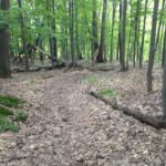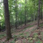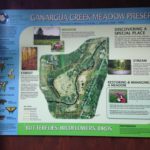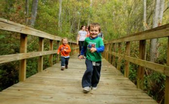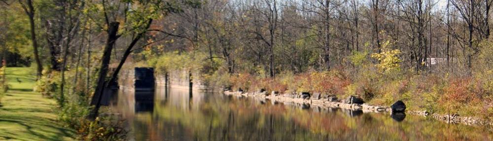
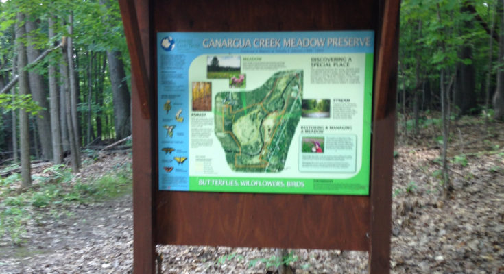
This preserve is made up of an upland area of hardwoods, wildflowers and shrubs, the winding Ganargua Creek crossing a broad floodplain, and an open meadow where food and cover for birds and other animals is abundant. There is exceptional butterfly habitat in the meadow. Property can be very wet in the spring. Dress for poison ivy.
Donated in 1996 to Genesee Land Trust for preservation in honor of Tim Johnson, by his mother, Cynthia Kesselring and his step-father, Leo Kesselring and partner, Frank Riedman.
56 acres of adjacent land along Ganargua Creek owned by Wayne ARC is managed by Genesee Land Trust in partnership with Macedon Trails. The trails group also assists with the trail maintenance on Ganargua Creek Meadow Preserve. Property can be very wet in the spring. Dress for poison ivy.
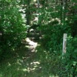
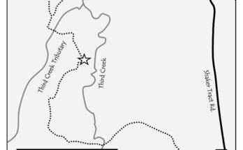
Trails on both east and west sides of Ganargua Creek, accessed from three trailheads. Both trail systems offer easy, level walking through meadows following a steep hill descent. West Sides Trails: From the West Side trailhead off Bunker Hill Dr., follow a forested trail down a hill, to a circular trail around the meadow on the west side of Ganargua Creek (1-mile, total). For a level hike, begin at the Wilkinson Road parking area. A 0.3-mile spur takes you through Wayne ARC property, adjacent to Genesee Land Trust’s preserve. This trail joins with the West Side Trail loop. East Side Trail: The East Side Trail takes you on a 0.8-mile walk with two loops that wind their way around two meadows along the east side of the creek.
LOCATION: Bunker Hill Dr./Victor Rd./Wilkinson Rd., Macedon
LENGTH OF TRAIL: West Side (Bunker Hill Dr.) 1 mile loop; Victor Rd., .76 miles
DIFFICULTY: more difficult due to the steep hill at the Bunker Hill Rd. entrance by the water tower
PASSPORT MARKER: at the base of Bunker Hill, when coming in from the west side