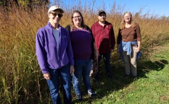
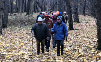
5ks are a big part of summer life for walkers and runners. It seems like everywhere you turn around, there’s a 5k for something! With COVID-19 and “social distancing” affecting how we gather, many organizations have turned to “Virtual 5ks” that walkers and runners can complete at a location of their choosing. So we thought it would be fun to suggest some of our best trails for a 5k.
Black Brook County Park
Park at the Lock Berlin parking area, and head east. Keep heading east over the bridge and past the main park entrance. Eventually, you will come to an open field, which is the halfway point. When you get to the open field, turn around and head back to your car. This route is 3.13 miles!
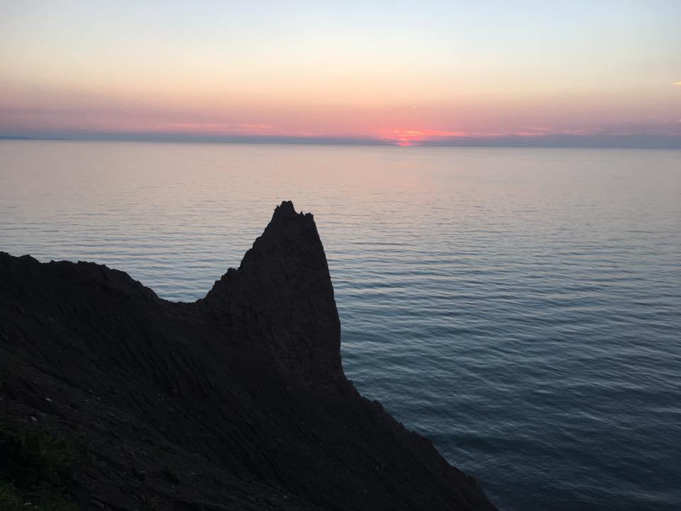
Chimney Bluffs State Park
Starting in the parking lot, head up towards the lake, and follow the bluffs trail east for over a mile. Head down the east side hill to the parking area, and continue south on East Bay Rd. At the intersection, turn right (west) on Garner Rd., and continue until you reach the parking lot again. This entire loop is 3.03 miles (we won’t tell it’s a little short). In the interest of safety, do not attempt to run on the bluffs trail, only on E. Bay Rd. and Garner Rd.
Casey Park
Parking in the east parking lot by the water, head west on the south side of the old iron ore bed. After about a mile, you should reach the road. Cross the road, and a little bit to the north, the trail continues. Complete the loop, and head back to your car the way you came. For an additional challenge, you can head back on the north side of the water, but it is not recommended for running. The total distance is about 3 miles.
Sodus-Wallington Rail Trail
Head out from the trail head at the northeast corner of North Geneva Rd. and Ridge Rd. You’ll cross over Furber Rd., Glover Rd., and Morley Rd. until you reach Margaretta Rd. The total distance is about 3 miles.
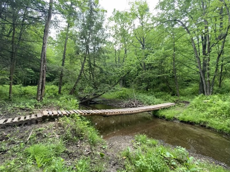
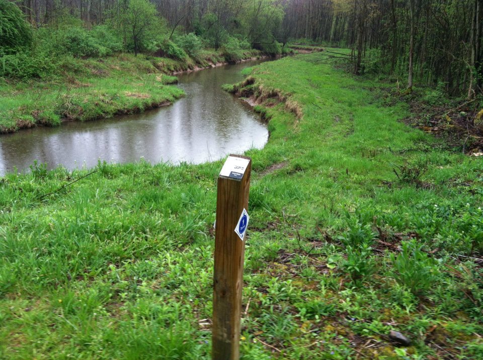
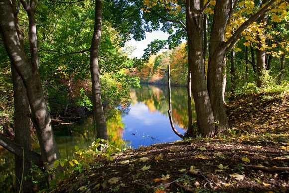
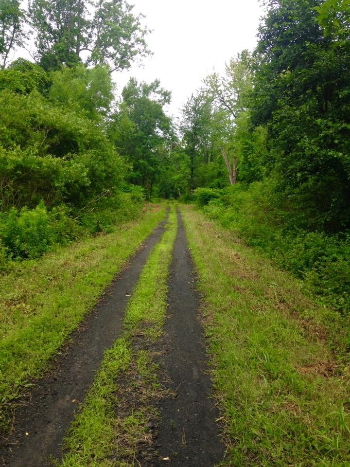
Shaker Tract Trail
Parking across from Briscoe Cove, follow the trail down the old logging hill, through the marshy area, to the clearing. Continue following the trail in the southeast part of the clearing, with spectacular views of Third Creek. Make your way over the wooden bridge and exit to Shaker Tract Rd. Follow Shaker Tract Rd. north, then west around the curve, until you find yourself back at your car. This route is approximately 3.25 miles.